zhuo ni xian guan jing tai
卓尼縣觀景台Jone County is located on the eastern edge of the Qinghai-Tibet Plateau, mostly in the middle and low mountain hilly terrain. The landform is mainly in the plateau hills, and most of them are in the middle and low mountain terrain. The terrain is high in the southwest and low in the northeast, and the southwest is inclined to the northeast. The terrain is divided into bare ice-corrosion alpine, plain alpine stripping surface, and water system of moderate to moderate cutting of Zhongshan. There is only one main mountain range, that is, the West Tile Mountains, which belongs to the remnant vein of the Bayan Kara Mountains in the middle branch of Kunlun, and the western section of the Qinling Mountains. The West Tile Mountains extend from Qinghai into the territory of Gansu and are divided into three branches in the south, central and north. These three branches all extend to the territory of Zhuoni, most of which are east-west. The highest peak in the country, Zhaikega (Cuomei Peak), is located on the southern border of the county, at an altitude of 4920 meters, and the lowest point Liulin is located in the eastern Tibetan Bawa Township, at an altitude of 2,000 meters.
MoreRecommendations Near zhuo ni xian guan jing tai
zhuo ni xian guan jing tai Reviews: Insider Insights and Visitor Experiences
Some reviews may have been translated by Google TranslateYou Might Also Like
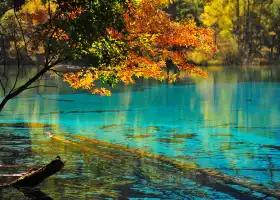
Jiuzhaigou Scenic Area

Jiuzhai Ancient Love
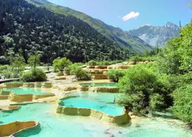
Huanglong Scenic Area

Dagu Holy-glacier
Nearby Attractions
Popular Types of Attractions in Zhuoni
Popular Restaurants in Zhuoni
Recommended Attractions at Popular Destinations
Popular Ranked Lists
More Things To Do in Zhuoni
Site Operator: Trip.com Travel Singapore Pte. Ltd.
Jone County is located on the eastern edge of the Qinghai-Tibet Plateau, mostly in the middle and low mountain hilly terrain. The landform is mainly in the plateau hills, and most of them are in the middle and low mountain terrain. The terrain is high in the southwest and low in the northeast, and the southwest is inclined to the northeast. The terrain is divided into bare ice-corrosion alpine, plain alpine stripping surface, and water system of moderate to moderate cutting of Zhongshan. There is only one main mountain range, that is, the West Tile Mountains, which belongs to the remnant vein of the Bayan Kara Mountains in the middle branch of Kunlun, and the western section of the Qinling Mountains. The West Tile Mountains extend from Qinghai into the territory of Gansu and are divided into three branches in the south, central and north. These three branches all extend to the territory of Zhuoni, most of which are east-west. The highest peak in the country, Zhaikega (Cuomei Peak), is located on the southern border of the county, at an altitude of 4920 meters, and the lowest point Liulin is located in the eastern Tibetan Bawa Township, at an altitude of 2,000 meters.
Open roadside beauty, parking fees will not be charged, you can also view the scenery from the mountainside. The Red Mountain Pass observation deck is better.